Disabled Veteran Owned
UAV / Drone Services
Our Drone Services
Drones have long been recognized for their role in capturing aerial images for marketing and real estate purposes. However, at Aston Monarch Corporation, we are taking drone technology to new heights by leveraging advanced sensors and cameras and sophisticated data analysis techniques. This combination allows us to harness the full potential of drones, transforming captured images into highly detailed data sets, intricate 3D models, and much more.

Hire Aston Monarch for Custom Drone Services
Aston Monarch Corporation collaborates with clients across various industries, such as land development, solar farming, forestry, utilities, oil and gas, and engineering. We offer cost-effective data solutions with rapid turnaround times, empowering clients to make informed decisions promptly.

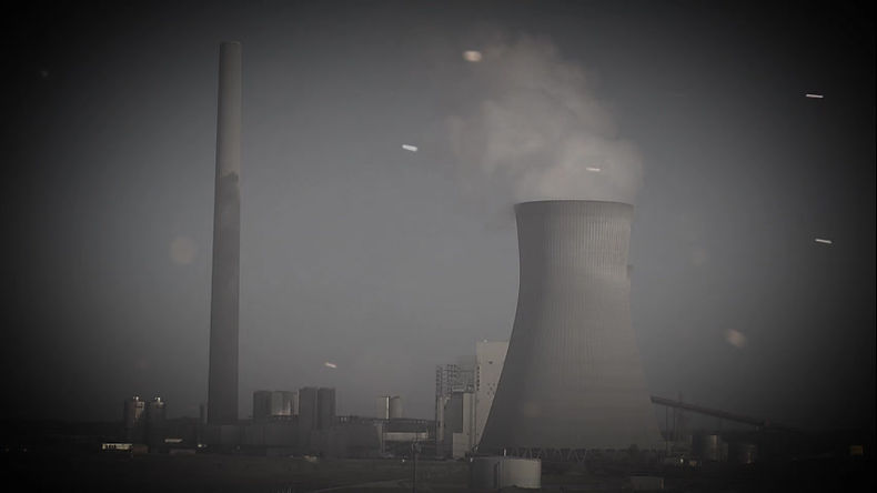
Drone Inspections
In fulfilling regulatory requirements and safety objectives, drone inspections emerge as a pivotal asset, reducing risk and costs while enhancing operational efficiency. Our drones are adept at capturing data even in challenging environments, from the summits of cell towers to the interiors of boilers, enabling inspectors to conduct thorough reviews safely and make well-informed decisions.

Utilizing Light Detection and Ranging (LiDAR) technology, we offer a rapid and precise method for surveying the Earth's surface by analyzing light reflection. Integrated with GPS and inertial measurement systems, LiDAR accurately measures distances and elevations, facilitating the creation of detailed 3D models, topographic maps, and contour maps.

Progress Monitoring
Our drone services offer versatile image capture capabilities, ranging from close-up shots to expansive aerial views. Employing consistent flight plans over specific durations, we enable organizations to monitor and track progress throughout construction projects efficiently. This proactive approach allows for the timely identification of potential issues, preventing them from escalating into significant challenges.

Industrial Photogrammetry
The utilization of drone technology revolutionizes industrial photogrammetry, a technique reliant on photographic measurements. We convert high-resolution images into precise and detailed 3D representations of current structures and terrains, leveraging our swift aerial imaging and remote sensing capabilities. These accurate renderings serve as invaluable assets for various projects, including mapping initiatives and construction planning endeavors.
Progress Monitoring
Our drone services offer versatile image capture capabilities, ranging from close-up shots to expansive aerial views. Employing consistent flight plans over specific durations, we enable organizations to monitor and track progress throughout construction projects efficiently. This proactive approach allows for the timely identification of potential issues, preventing them from escalating into significant challenges.
Industrial Photogrammetry
The utilization of drone technology revolutionizes industrial photogrammetry, a technique reliant on photographic measurements. We convert high-resolution images into precise and detailed 3D representations of current structures and terrains, leveraging our swift aerial imaging and remote sensing capabilities. These accurate renderings serve as invaluable assets for various projects, including mapping initiatives and construction planning endeavors.
Working with Us
Aston Monarch Corporation offers nationwide drone services that deliver precise, comprehensive data and high-resolution images tailored to enhance job site safety, reduce costs, and improve efficiency across diverse projects. Our extensive network of insured and FAA-licensed pilots collaborates with our project managers and imaging specialists to ensure prompt delivery of results at a competitive price.
